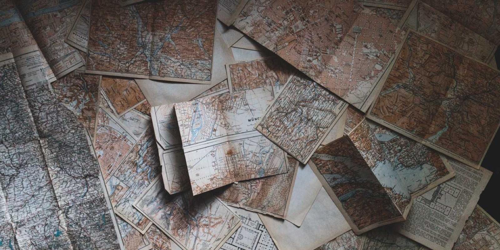
5 Fun Map Sites for Cool and Interesting Cartography
Reading Time: 4 minutesMaps are cool! From historical maps to imaginary maps, these fun sites are a delight for every cartophile.
Google Maps has put a map in every pocket and changed how we look and interact with maps. We access a map more than ever before, and there are a growing number of cartophiles worldwide.
Naturally, that leads to some fun and cool websites for interesting ways to handle maps. There are portals that preserve old maps and show you how the world has changed, while others let you compare pretty much any two places on the planet. And you’ll be glad to know that there are communities to find like-minded map lovers to share your interests.
1. Historical Aerials (Web): How City Maps Looked Years Ago
If you want to visualize the evolution of your American city or town over the years, Historical Aerials offers a unique look. A part of the Nationwide Environmental Title Research (NETR), the website lets you view historical aerial photographs and maps of any place in the United States.
Use the viewer to check your location or type a place in the bar. By default, it opens today’s satellite image view. But click ‘Aerials’ in the sidebar to see a list of years for which Historical Aerials has matching map data or pictures of that area. And just like that, you’ll travel back in time to how the city looked years ago.
Another cool option is ‘Topos,’ which features topographical maps of the place over the years, where the older ones are usually hand-drawn illustrations. But both the Aerials view and the Topos view work just like Google Maps, so you can pan, scan, and zoom the map to explore it.
2. Old Maps Online (Web): Find, Overlay, and Compare Historical Maps
The websites of universities, libraries, governments, and other institutions store hundreds of historical maps online. Old Maps Online tries to make it easy to find these in one place with a cool map tool to compare them.
You can type the name of a place or browse on the map, and Old Maps Online will show a sidebar with all the ancient maps available for that region. You can follow the link to the original map website or overlay it in the Old Maps Online interface to view it on the current world map.
The Compare tools let you add multiple maps you can overlay and adjust the opacity to see them together. You can also view all these maps as a grid or put them as a ‘swipe’ where you move a line to see them like a before-after view. Finally, the ‘Spy Glass’ view shows the current map, but your cursor is a large circle with the chosen map overlay like you have X-Ray vision to see what’s underneath. It’s all super cool, and you’ll have a great time playing around with the different Compare tools.
3. Radio Aporee Maps (Web): Browse Random Sound Recordings in Different Areas
A map shows you what a place looks like. Radio Aporee augments that by helping you know what a place sounds like. It looks like a regular Google Maps, which you can click and drag to browse. But you’ll see lots of red hotspots in different areas. Click it to play an original sound recording from that place.
The recordings come from contributors to the Radio Aporee project, a community dedicated to the art of listening. Members record various types of audio and geo-tag it while uploading, creating a library of sounds from the real world.
Hotspots can be filtered by time (past 24 hours, past week, or past month). You can auto-play all sounds in the visible area as a playlist and even ask Radio Aporee to play a random sequence of recordings. Since the recordings are tagged, you can also search for specific types of sounds and play those. It’s cool, unexpected, and a trippy way to explore the Earth with maps!
4. MapFight (Web): Compare the Size of Any Two Places With Overlaid Maps
The world map we usually see is based on the Mercator projection, which distorts areas near the poles because it’s trying to project a flat image of a spherical object. The actual size of certain areas is inaccurate. MapFight wants to help you visualize and compare the real sizes of places and objects on Earth.
When you compare two regions, cities, or countries, MapFight will overlay their outlines on top of each other to give you an indication of the real size of both. Of course, you’ll also find the exact real area of each and how much bigger one of them is than the other.
When you select any place, MapFight will auto-generate a bunch of suggested comparisons for you to browse. You can go through the site’s database of places (which can be filtered by name, area size, or date it was added) to quickly select two locations to compare. The site is often updated with fun featured articles, like the size comparison of all countries in the 2022 FIFA World Cup.
5. r/MapPorn and r/ImaginaryMaps (Web): Community to Discuss and Share Interesting Maps
If you’re reading this article and like to look at cool and intriguing maps, please know that you’re not alone. There’s an entire subreddit dedicated to sharing high-quality images of different types of maps and discussing cartographic interests.
All posts on r/MapPorn are pictures of maps, but there isn’t a particular category or subject. You’ll find historical maps, maps representing statistical data on the current atlas, and maps of interesting connections like undersea cables across the world. You can filter the best posts using the ‘Quality Post’ flair and participate in the monthly discussion thread to talk with other cartophiles.
Of course, all the maps on r/MapPorn are of the real world. But if you love fiction, you might also want to check out r/ImaginaryMaps. It’s a community that shares maps of alternative history, fantasy, or science fiction. Most of these are original works of the people who post, so it’s a great place to discuss with like-minded fellows.
Do More With Google Maps
While these map sites are bound to quench your cartographic hunger, we’d be remiss if we didn’t also focus on Google Maps itself. You probably know about many of its coolest features already, but there are also third-party developers building sites and extensions to make Google Maps incredibly useful, from choosing better routes to removing clutter for cleaner-looking maps.
Reference: https://www.makeuseof.com/fun-map-sites-interesting-cartography/
Ref: makeuseof
MediaDownloader.net -> Free Online Video Downloader, Download Any Video From YouTube, VK, Vimeo, Twitter, Twitch, Tumblr, Tiktok, Telegram, TED, Streamable, Soundcloud, Snapchat, Share, Rumble, Reddit, PuhuTV, Pinterest, Periscope, Ok.ru, MxTakatak, Mixcloud, Mashable, LinkedIn, Likee, Kwai, Izlesene, Instagram, Imgur, IMDB, Ifunny, Gaana, Flickr, Febspot, Facebook, ESPN, Douyin, Dailymotion, Buzzfeed, BluTV, Blogger, Bitchute, Bilibili, Bandcamp, Akıllı, 9GAG